Despite the general Western flavor of the towns that give residency to Yellowstone National Park’s gateways, before 1890 these five towns would have appeared an inconsonant mishmash of patched together backwoods watering holes. But Yellowstone National Park, as vast and varied and tumultuous as it is, leaves no room for discord.
Like an army on a battlefield made cohesive by the power of a common cause, everything within its vast caldera and expansive rim has been pulled together, however begrudgingly, by the same forces of nature that once blew it apart. All those stray, eccentric pieces are now part of the YNP common denominator. But Yellowstone’s gateways are the Old West and the old west, still true to its hard fought infamy, continues to kick common denominators to the ever dusty curb.
Among the who’s who of western towns, Yellowstone National Park’s gateway towns embody our romanticized daydreams of the Old West. In other words they have an element of kitsch. But it’s so guileless and enthusiastically presented that our expectations for an old west experience, however kitschy, are exceeded by the same leap the Colt revolver made over the bow and arrow. We become immersed voyeurs to the old west ways, loving every moment of it.
Small treasures offering inimitable charm and scenery, abundant wildlife, and a broad range of alternatives capable of meeting everyone’s entertainment needs, these towns will not disappoint.
Kitsch: “Sentimentally charming, tacky and fun all rolled up in one. One catch with kitsch is that you’re never quite sure if it’s supposed to be serious or not. It’s that uncertainty that is amusing. Kitsch is melodramatic, overdone, gaudy and tacky or sentimental and folksy. It’s so bad that it’s cool.” Yes, please.
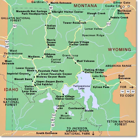
Map of the 5 Yellowstone Entrances
** Exploring Yellowstone’s entrances and the towns anchoring them, takes homework. The North Gate entrance in Gardiner, Montana is the only entrance that’s fully accessible and open year-round.
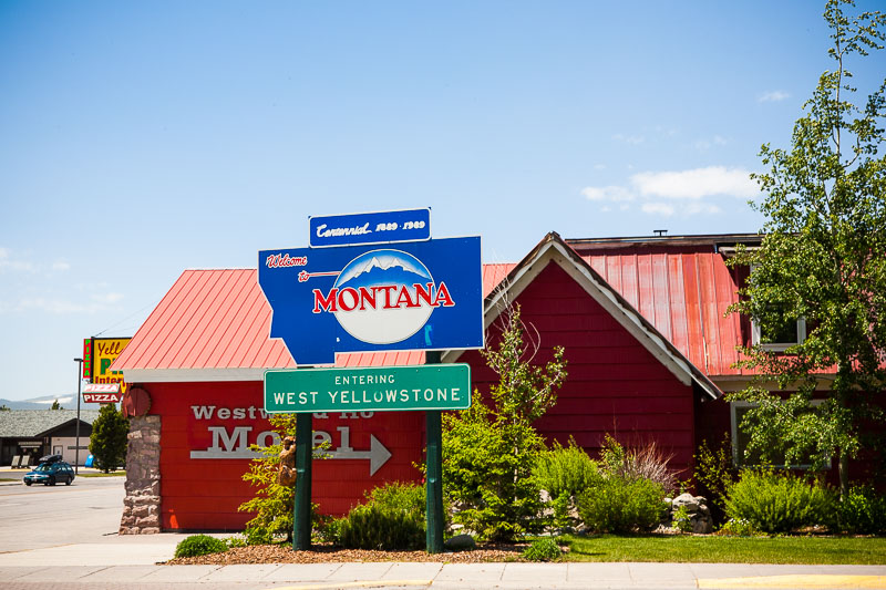
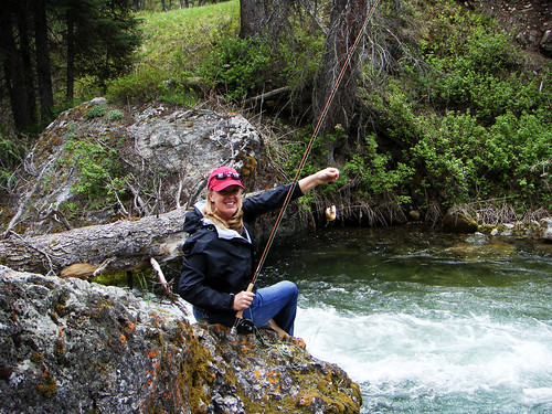
West Yellowstone, Montana: West Gate Entrance
In 1905, E.H. Harriman, president of the Union Pacific Railroad, and Frank J. Haynes, president of Monida & Yellowstone Stage Line met in the area of West Yellowstone for a tour of the Park. Afterwards, Harriman constructed a railroad branch from St. Anthony, Idaho to the west entrance of the national park. By December 1907 the tracks were laid and when the snow pack melted, the first tourists made their way to the Park through this entrance in June 1908. Each summer, the “Yellowstone Special” train made trips daily from Salt Lake City to West Yellowstone. West Yellowstone developed around this flow of tourists. For reference, park tourists had already begun entering the North Gate from Gardiner, Montana in 1903.
When you get to West Yellowstone, park the car. The town is compact and meandering friendly.
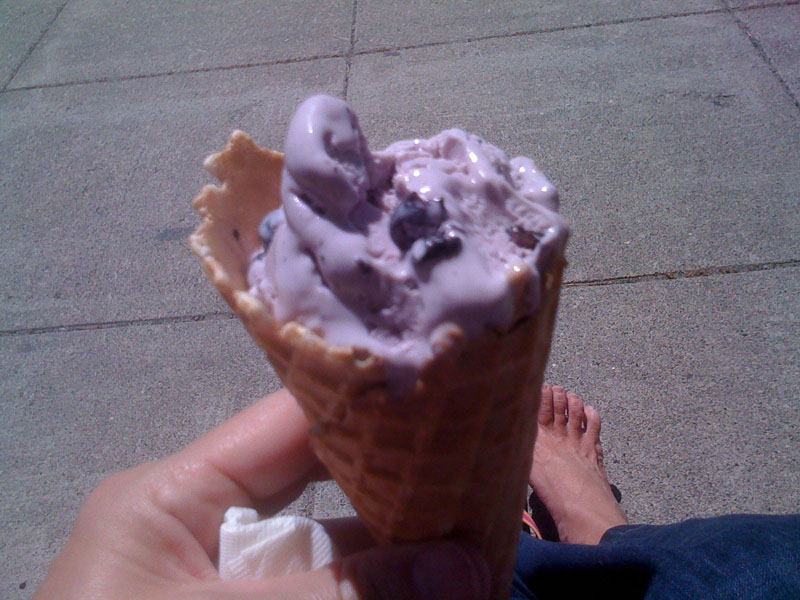
Not To Be Missed — Strolling, huckleberry ice cream, the Union Depot Dining Hall, and the Yellowstone Historic Center Museum.
West Yellowstone airport (WYS) is open to commercial flights (Delta) from June 1 – September 30.
For 2019, this entrance opens April 19.
Fun Times Ahead
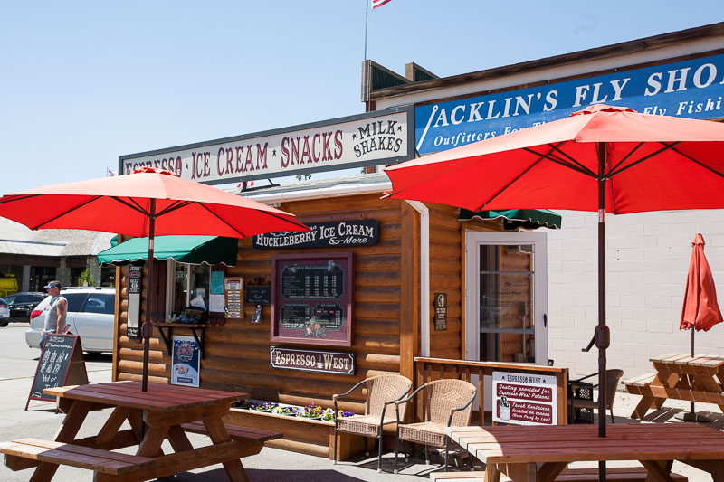
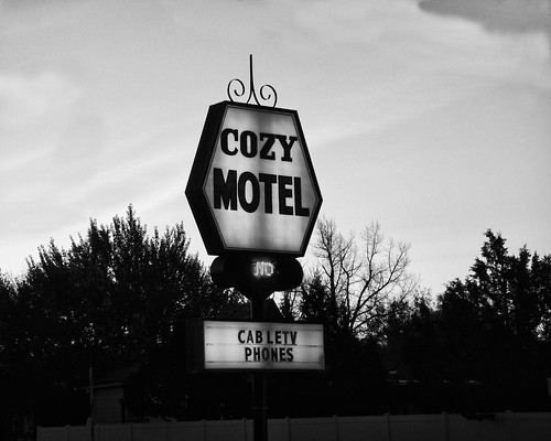
Snacks and Kitsch

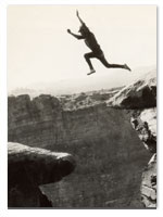
Out of Focus Huckleberry Ice Cream, In Focus Bare Feet
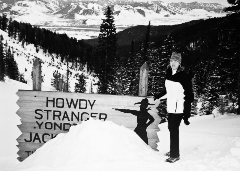
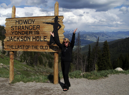
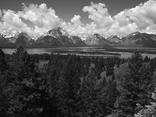
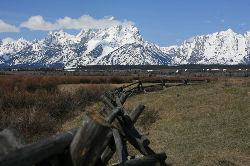
Jackson, Wyoming: South Gate Entrance
It’s easy to believe you’ve reached Yellowstone National Park when you haven’t — you’re still in Grand Teton National Park. Beauty begets beauty so the confusion is understandable. Grand Teton National Park begins about five miles north of Jackson on 191/89. The physical entrance gates to Grand Teton National Park are at Moose Junction, 12 miles north, and/or Moran Junction, about 30 miles north of Jackson. The south entrance of Yellowstone National Park is about 50 miles north of Jackson on 191 (for reference, Old Faithful is approximately 40 miles further).
Since we’re talking about Jackson in the context of Yellowstone’s South Entrance, in the fall (my favorite time of year there), you may be able to drive a distance towards Yellowstone from Jackson, but that entrance closes in October. This area can see snowfall in the range of 300 inches over the winter season. Which means if you don’t do your homework and you wind up in Jackson desiring to drive to Yellowstone after the entrance closes, you’ll have to drive west into Idaho, then north into Montana, east to Livingston (yep, all the way to Highway 90) and finally, south to Gardiner (the West entrance is closed for the winter as well so don’t go knocking on that door). Gardiner, Montana is home to the North Gate and the only Yellowstone entrance that’s open year-round. Do your homework. The trip is about 200 miles of brutal driving. In other words, throw a kiss at Yellowstone because you won’t be seeing it until spring. One qualification, you can enter the South entrance with a snowmobile.
Jackson Hole’s airport (JAC) is open year round to commercial flights, typically Delta, United and Skywest, with occasional/seasonal flights available from American.
For 2019, this entrance opens May 10 and generally closes in October.
50 Things To Do in Jackson Hole and Grand Teton National Park
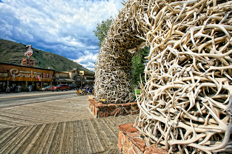
Antler Arches Jackson Town Square
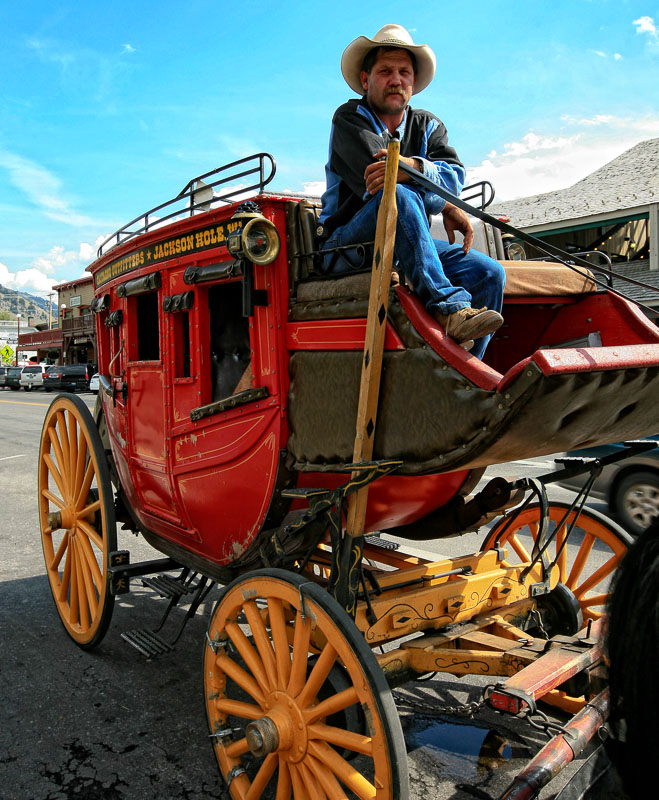
Jackson Hole Stagecoach
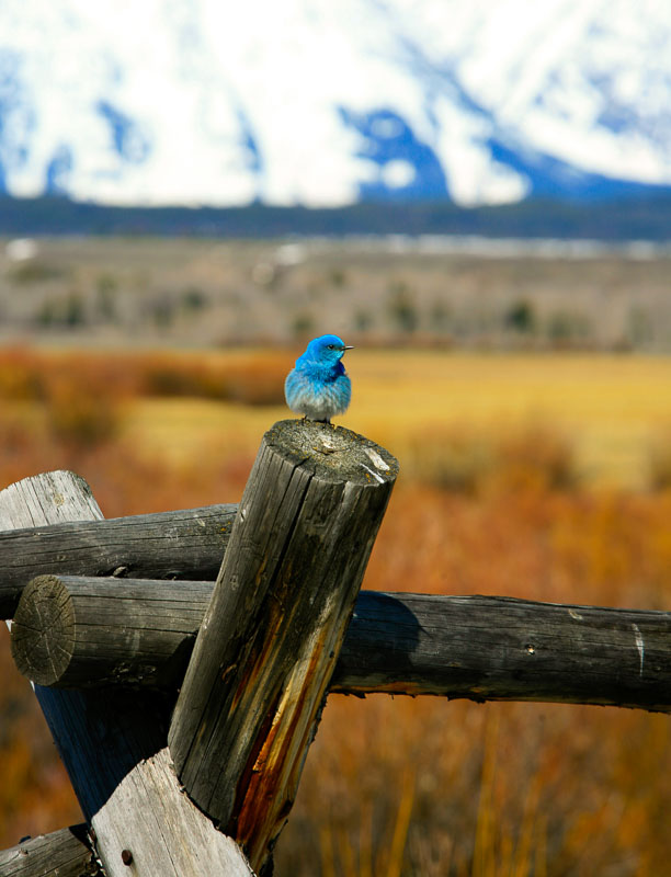
Western Bluebird
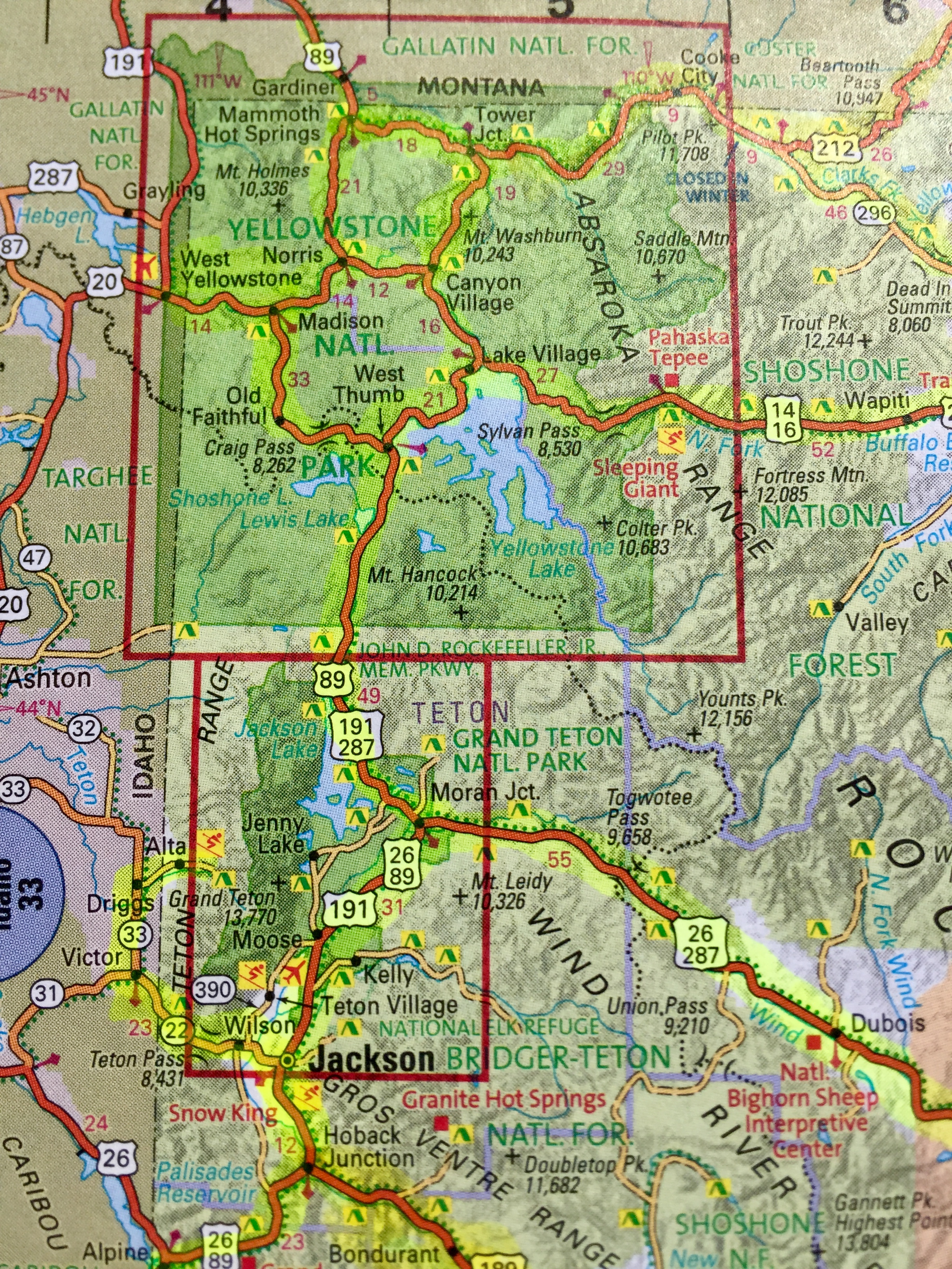
Map of Jackson Hole & Yellowstone are
Cody, Wyoming: East Gate Entrance
Cody’s offerings pivot around its progenitor Buffalo Bill Cody. Which means one thing – you’re in for a show. Buffalo Bill’s Wild West Show ran for 30 years, making him the most famous entertainer in the world in the early 1900s. Set aside plenty of time for your 52 mile drive from Cody to Yellowstone National Park. President Theodore Roosevelt called it “the 50 most scenic miles in the world.”
Yellowstone Regional Airport in Cody serves the entire area with commuter flights offered by major carriers year-round from Denver, Colorado and Salt Lake City, Utah.
For 2019, this entrance opens May 3.
Buffalo Bill Historical Center
Cody Nite Rodeo
The Irma Hotel
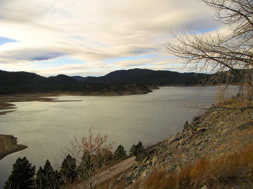
Buffalo Bill State Park / Reservoir
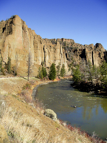
Road From Cody to Yellowstone
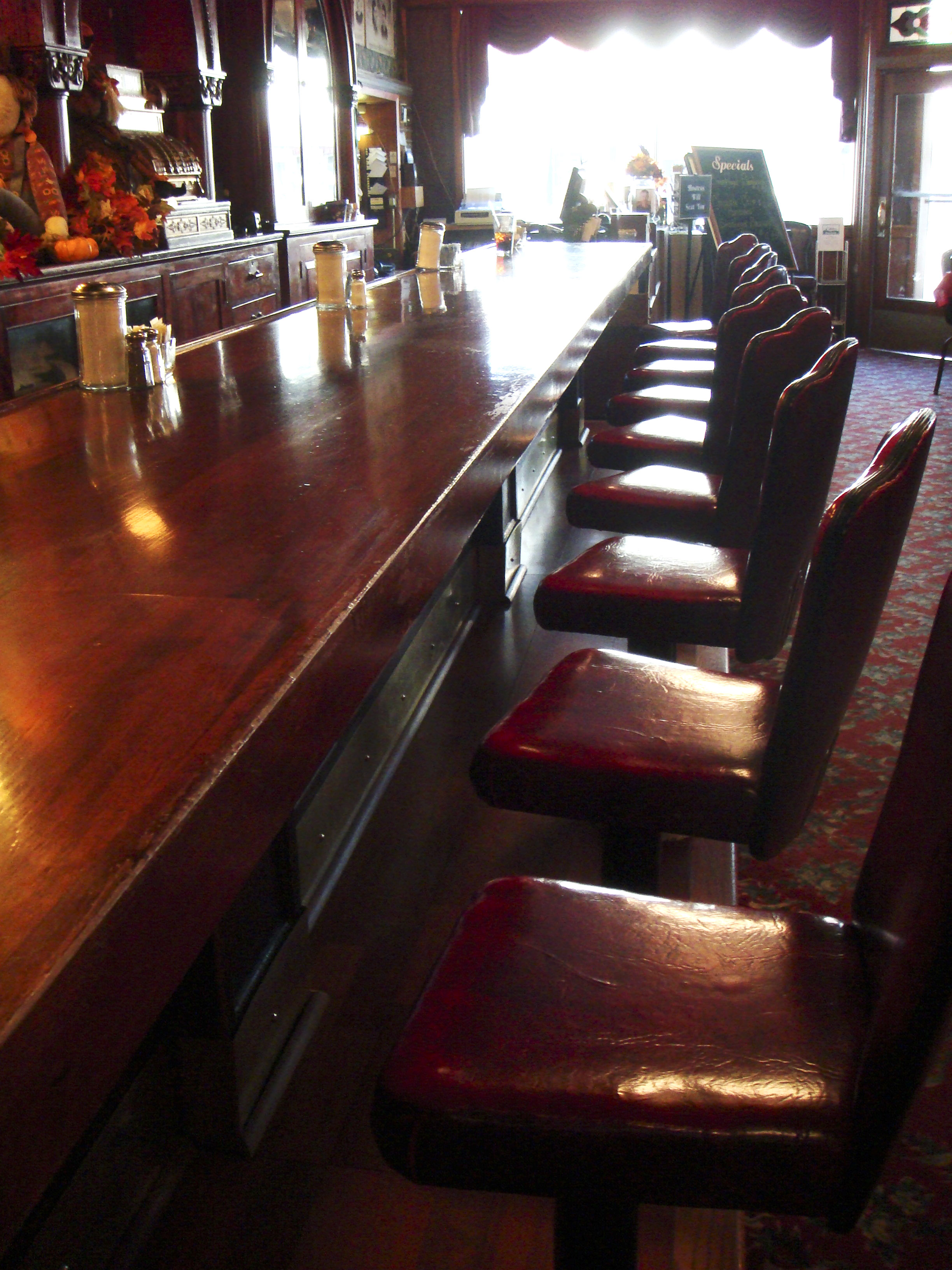
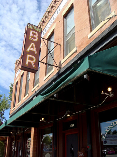
Irma Hotel Bar, Cody

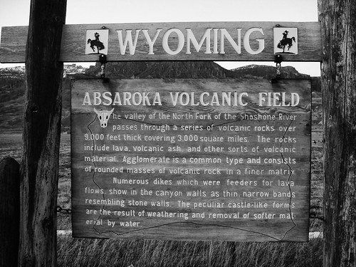
Highway 296 between Cody, Wyoming and Cooke City, Montana
Cooke City, Montana: Northeast Gate Entrance
For so little infrastructure, I’ve a lot to say about this Yellowstone gateway. Cooke City, Montana has done with its remote birthright what it could. First mining, then Yellowstone National Park. Originally named Shoo-Fly, the mining town was renamed in 1880 in an attempt to flatter a Northern Pacific Railroad executive into putting a stop there (apparently Shoo-Fly struck even the 1880 sensibilities as uncultured, and they dreamily desired to live in a city). In 1877 this country helped hide the Nez Perce Chief Joseph and his 800 or so band of hold-outs from General Howard’s 2,000 strong Cavalry for three months. Railroads don’t go where outnumbered bands of undersupplied men on horseback can elude the United States army for months.
I can see why the townspeople wanted a railroad in there. Getting to Cooke City is a gutsy endeavor. Highways 296 and 212 merge into a single road and from that junction the town is another 14 miles of nothing but bravery. And that’s assuming you’ve got any left. Coming out of Red Lodge, Montana on 212, BearTooth Pass at 10,974 ft. fiercely protects this route. Coming out of Cody, Wyoming on 296, Dead Indian Pass at 8,066 feet on the Chief Joseph Highway with views of the Absaroka’s Pilot and Index Peaks (11,708 & 11,313 feet) guards the other. Pretty sure the railroad executive never made it to the town hall meeting.
Cooke City has a year-round population approximating 100. Three hundred cavort on the one paved street in the summer months of July and August. Even though it’s considered Yellowstone’s Northeast entrance gateway community, Silver Gate, a few miles past Cooke City, actually claims the ranger station.
Take note, if you’ve not entered the Park through this least-traveled gate, this small community and the drive to get there, epitomize Yellowstone’s wildness.
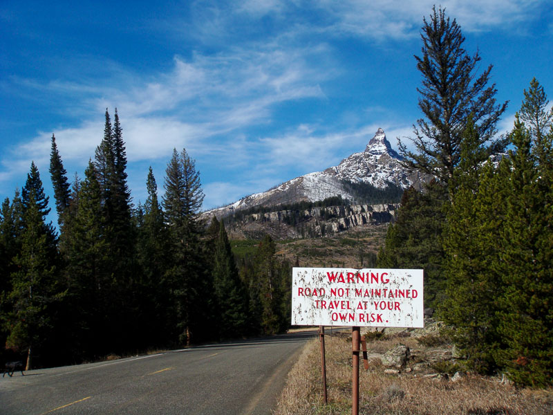
The Northeast Entrance remains open year round but that’s a mere technicality. Since the Beartooth Highway (212) closes in September/October, you can only access the gate and Cooke City from within the park. Tricky.
Pilot Peak, Absaroka Mountains
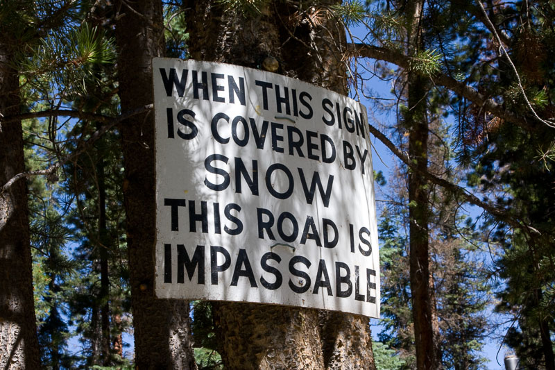
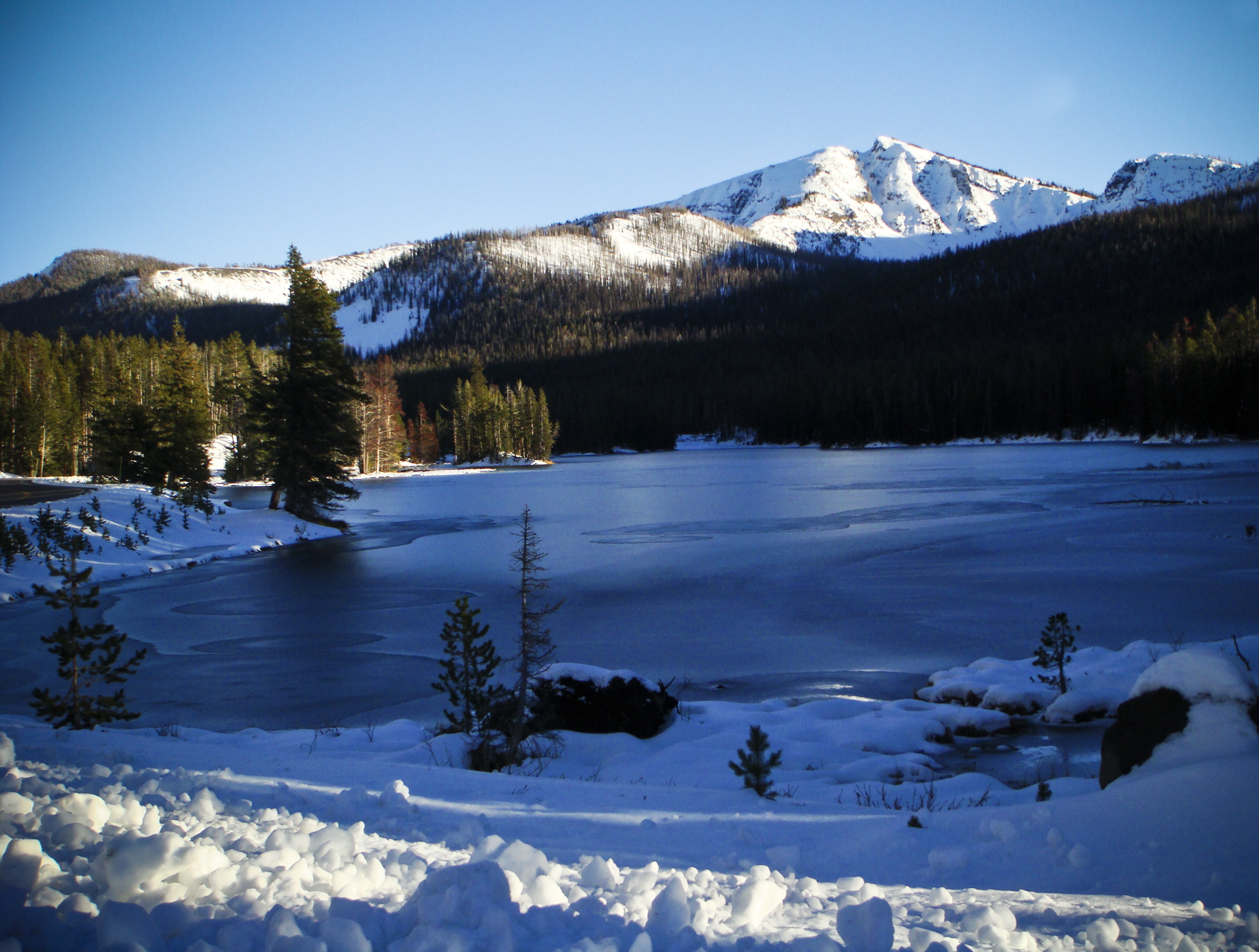
Snow Country’s Obvious Signs
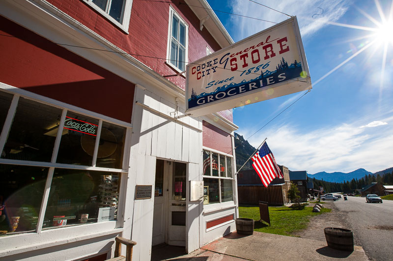
Cooke City, Montana General Store
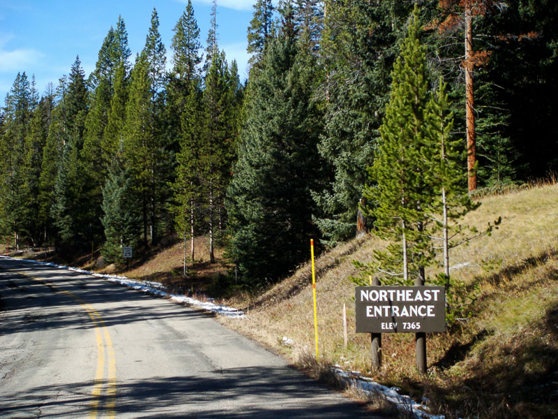
Northeast Entrance Yellowstone National Park
Gardiner, Montana: North Gate Entrance (the original gateway into YNP)
In 1872 when President Ulysses S Grant declared Yellowstone the nation’s first national park, Gardiner, Montana, 100 miles as the crow flies from what would become the park’s darling South entrance, was the only threshold. Home to one of the oldest roads in Yellowstone, the Old Gardiner Road was used to ferry visitors into Mammoth Hot Springs from the Northern Pacific Railroad depot in Cinnabar, Montana. The original host to Yellowstone’s first visitors established as a 1880s stagecoach route, it’s still unpaved, and one of the few roads in the park that excludes RVs.
President Chester A Arthur was the first U.S. president to visit Yellowstone. In 1883, he and his party led by General Sheridan, rode on horseback over the Old Gardiner Road to the park headquarters at Mammoth Hot Springs (Mammoth Hot Springs still reigns as Park headquarters).
The Roosevelt Arch was dedicated by President Theodore Roosevelt on April 24, 1903.
The Gardiner entrance remains the only entrance that’s open year-round.
Fort Yellowstone and the beautiful travertine terraces of Mammoth Hot Springs are just beyond this gate.
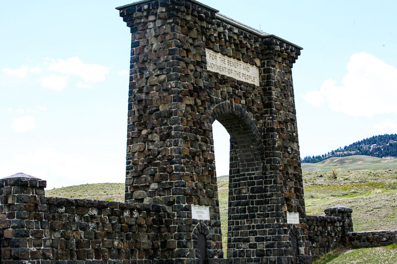
Yellowstone’s North Entrance; Gardner, Montana. The Roosevelt arch was dedicated by President Theodore Roosevelt on April 24, 1903.
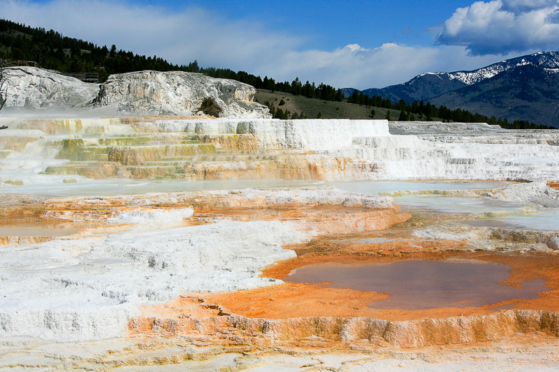
Travertine Terraces, Mammoth Hot Springs
Spring at Yellowstone’s North Entrance
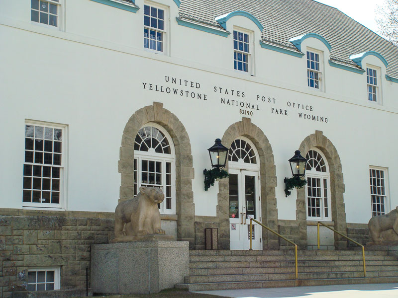
Yellowstone Main Post Office, Mammoth Hot Springs
Join the Road Trip Revolution at the Solo Road Trip Facebook Fan Page, here.


 About SRT... I’m a traveler, writer and photographer for whom the open road frequently summons. Adventurous solo road trips are a staple for me, and a curiosity. So I created this website to share them and inspire you to step out and give them a try. Welcome!